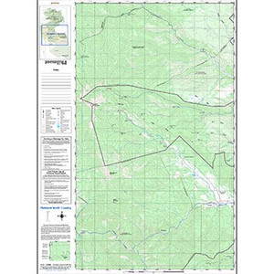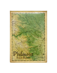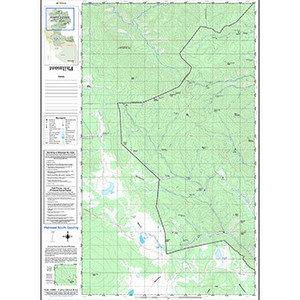
Recently Updated for 2025 to include new camps, trails, and trailheads. Plan your trek and once you're done hang it on your wall to remember the incredible journey at Philmont.
Features:
- Contour Intervals: 100 feet
- Scale 1:63360
- Wateproof ink, printed on water-resistant paper
- Shaded Topographical Relief
- All map information is surveyed & processed by Philmont's GIS department.
- Map Size: 36"x24"
- Printed on one side
- 2025 Printing
*Not intended for navigation
Reviews
-
Overall Map - Memories!
Maps are some of my favorite Philmont mementoes. While Baldy will always be Baldy, for example, Philmont is far from static. Trails change. Fires burn. Buildings come and go. Also, with five treks under my belt now, each of those maps helps me tell its own unique story! (That they don't take up much space on the wall or in my files is an added bonus).
